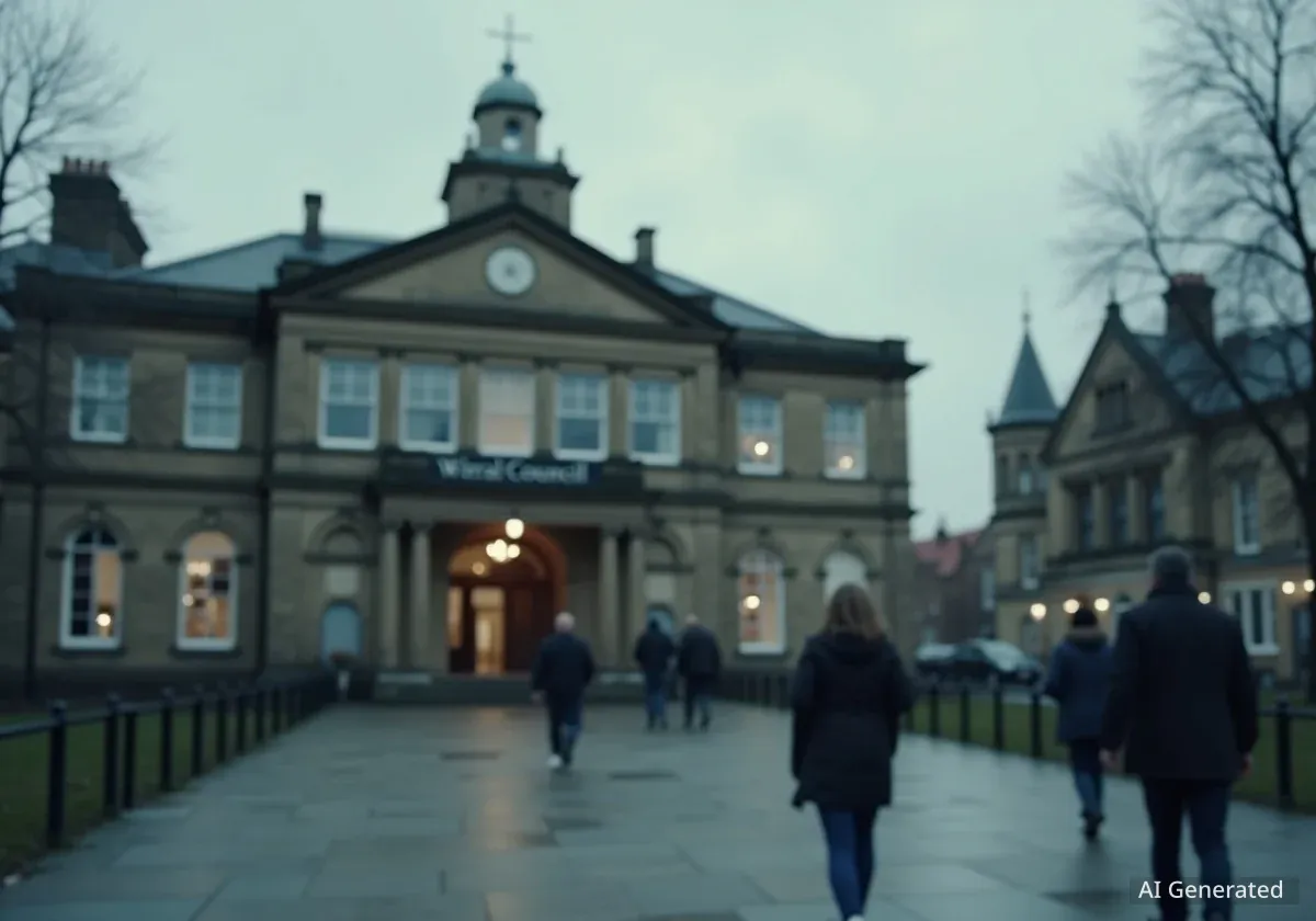


Wirral's political landscape is set for a significant overhaul following the final recommendations from the Local Government Boundary Commission for England (LGBCE). The independent body has confirmed new ward boundaries across the borough, which will reduce the total number of councillors from 66 to 65. These changes, designed to ensure fairer representation for residents, will come into effect at the local elections in May 2027.
The new arrangement will see Wirral divided into 22 wards, with 21 represented by three councillors each and one ward represented by two. The review, which incorporated extensive public feedback, has resulted in adjustments to most existing ward boundaries to better reflect local communities and population distribution.
Key Takeaways
- Wirral Council will have new ward boundaries starting from the May 2027 local elections.
- The total number of councillors will be reduced from 66 to 65.
- The new structure will consist of 21 three-councillor wards and one two-councillor ward.
- Significant changes were made in West Kirby and Hoylake based on public consultation, resulting in Hoylake and Meols becoming a two-councillor ward.
- The changes must be approved by Parliament before they become law.
The Purpose of the Boundary Review
The Local Government Boundary Commission for England is an independent body responsible for drawing up electoral boundaries for local authorities. Its primary goal is to ensure that each councillor represents roughly the same number of voters, a principle known as electoral fairness. This helps to make sure every vote carries equal weight, regardless of where a person lives in the borough.
Over time, populations shift as new homes are built and people move. This can lead to some wards having significantly more or fewer voters than others, creating an imbalance in representation. The commission conducts regular reviews to correct these disparities and ensure the boundaries reflect current community identities and ties.
For Wirral, the review aimed to create a new electoral map that would support effective local government and accurately represent the borough's communities for the foreseeable future. The process involves multiple stages of consultation, allowing residents, community groups, and political parties to submit their views and evidence.
What is Electoral Fairness?
Electoral fairness means that each person's vote has a similar value. If one ward has 10,000 voters and another has 5,000, but both elect the same number of councillors, the votes in the smaller ward are effectively more powerful. Boundary reviews aim to balance the number of electors per councillor across an entire local authority area.
Public Influence Shapes Final Boundaries
The final recommendations published by the LGBCE were heavily influenced by feedback from the Wirral community. According to the commission, a total of 93 submissions were received from local residents and organisations during the consultation period. This input provided valuable local knowledge that helped refine the initial draft proposals.
“We are very grateful to people in Wirral. We looked at all the views they gave us. They helped us improve our earlier proposals,” said Professor Colin Mellors, Chair of the Commission. “We believe the new arrangements will deliver electoral fairness while maintaining local ties.”
This collaborative process demonstrates the importance of public participation in shaping local democracy. The evidence submitted by residents often highlights community connections and geographical features that may not be apparent from maps and data alone, leading to more logical and representative boundaries.
Major Changes in West Kirby and Hoylake
One of the most significant changes resulting from public feedback involves the West Kirby and Thurstaston ward and the Hoylake and Meols ward. Initial proposals had split the town of West Kirby between two different wards. Residents argued strongly that the town should be contained within a single electoral area to preserve its distinct community identity.
The commission listened to this evidence and redrew the boundaries to ensure that all of West Kirby town is now included in the revised West Kirby and Thurstaston ward. To balance the number of electors, a consequential change was made to the neighbouring Hoylake and Meols ward. It will now be represented by two councillors instead of the originally proposed three, making it the only two-councillor ward in Wirral under the new system.
Minor Adjustments Across the Borough
In addition to the major changes on the west coast of the peninsula, several other wards saw minor boundary adjustments based on local evidence. These smaller changes were made to better align the boundaries with recognisable local features and community areas.
The wards affected by these minor revisions include:
- Birkenhead and Tranmere
- Bromborough and Port Sunlight
- Oxton
- Prenton
- Rock Ferry and New Ferry
These adjustments, while small, are important for ensuring the final boundaries make sense to the people who live there and help councillors effectively represent their constituents.
Wirral's New Electoral Structure at a Glance
- Total Councillors: 65 (down from 66)
- Total Wards: 22 (down from 22, but reconfigured)
- Three-Councillor Wards: 21
- Two-Councillor Wards: 1 (Hoylake and Meols)
The New Electoral Map of Wirral
The final recommendations establish a new political map for the borough. The reduction of one councillor, from 66 to 65, is a key outcome of the review. This decision was based on the commission's assessment of the most effective way to structure the council while maintaining fair representation.
The structure of 21 three-member wards and one two-member ward is designed to provide a clear and consistent system of governance across the borough. Most residents will continue to be represented by a team of three councillors who work together on local issues.
The changes will impact the strategies of political parties in the run-up to the 2027 elections. Some existing councillors may find their current wards significantly altered or merged with others, potentially leading to new political dynamics and contests for selection and election.
Next Steps Towards Implementation
The publication of the final recommendations is a major milestone, but it is not the last step in the process. The proposed new boundaries must now be laid before Parliament for approval. This is typically done through a piece of secondary legislation known as a statutory instrument.
Once Parliament approves the order, the new electoral arrangements will become law. Wirral Council will then begin the process of implementing the changes, which includes updating electoral registers and polling district information to align with the new ward boundaries.
All these preparations are in readiness for the May 2027 local elections, which will be the first time that councillors are elected based on the new map. From that point forward, the 65 councillors will represent the 22 newly defined wards of Wirral.
Full details of the final recommendations, including interactive maps showing the new ward boundaries, are available for public viewing on the Local Government Boundary Commission for England's website.